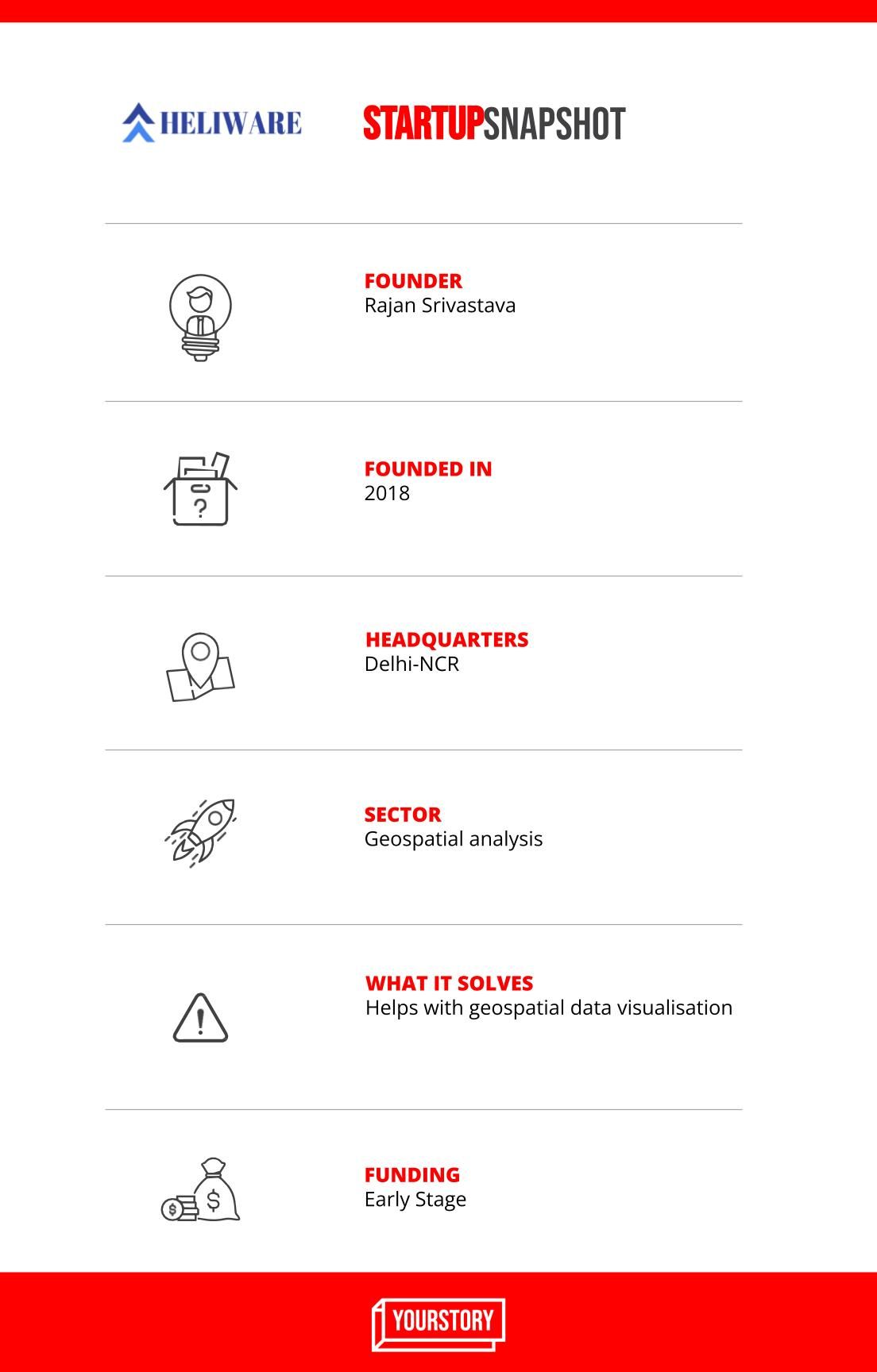
When Rajan Srivastava, now 29, completed his B Tech in geo-informatics in 2014, he wanted to start a drone tech startup. While working with many earth-moving clients, he realised that the client’s main problem was to visualise and analyse large sets of drone data, mainly 3D data.
“So, I decided to build a large-scale data visualisation and analytics platform for location analytics,” Rajan says. This led to the birth of Heliware in January 2018 in Delhi-NCR.
The startup aims to solve problems related to geospatial data visualisation and analytics.
“Interestingly, a terabyte of data is generated every day from drones to different devices like lidar and mobile phone, from cell tower to a consumer app. Heliware’s technology stack helps companies to get insights from that data within a minute. It does this with its software and in-house web-GI-powered Java Script library (Heli-3D Viewer at the frontend) along with Python-based geo-spatial automation library (backend),” Rajan explains.
How does it help?
Heliware mainly works on four key concepts:
* Data ingestion and integration
* Data unification
* Geo-spatial automation
* WebGL & ThreeJS-based powerful visualisation
Heliware aims to become a big data analytics platform by converting almost any data in geo-spatial format, to help clients understand their data in better ways. Geospatial automation, in the field of the automotive industry for example, helps build 3D maps, and can be vital to multiple autonomous applications.
“The initial challenges were bootstrapping the company with limited resources. I literally did not have much of my own savings; that kept me on my toes to make the foundation strong enough to sustain. Building a strong technology team was another big challenge that we have been able to overcome over the years,” Rajan says.
For the core team, he onboarded some of his college juniors and friends. Building a strong tech team was facilitated when his startup won the backing of angel investors.
Heliware currently employs 30 people. The geo-spatial analytics team has 12 people, led by Adarsh who has five-plus years of experience in project management and client relations. The software technology team has 10 people. Amit has seven years of experience and leads the visualisation team while Nandan heads the automation team.

The offerings and product
Heliware’s unique offerings are their geo-spatial technology stack and APIs, which lets clients handle and manage large sets of data at low costs.
The team launched its APIs in December 2020 – these are being used by over 25,000 developers around the globe.
Their clients are from sectors like automobile, urban development, solar, and the construction industry. The startup is also in talks with some retail and assets moving companies to extend the data science solutions.
“We charge them on a monthly or annual basis and a one-time cost, based on the API requirements,” Rajan says.
The services revenue in FY21 was around Rs 1 crore, a two-fold growth from the previous year.
Market and the future
The geospatial analytics market is expected to grow at a CAGR of 24 percent between 2020 and 2025. Globally, numerous companies are working towards using geospatial data to make the lives of ordinary people better. This includes deep navigational information and data on how it works best for different regions, areas, and locales.
Indian tech startups had to compete with big international players to innovate in this space in the international market while there were accessibility challenges in the country.
The Heliware business model mainly works on a monthly/yearly basic licence along with a basic enterprise solution for API and software “in which we have an average profit margin of around 30-40 percent per client”.
Heliware received a small seed round in FY19, after which it raised an angel round from Chandigarh Angels Network to expand the product team in FY20.
“It took us around 2.5 years to build an end-to-end geospatial API and software; this has cost us around Rs 45 lakh until now,” Rajan explains.
In January 2022, the startup raised an undisclosed funding amount led by TiE Angels. The team is currently expanding its visualisation and data science team.
“This will help us in providing unique solutions in finance, retail, logistics, telecom, and asset inspection sectors. It will help us in seamlessly catering to the demands of our existing client base as well,” Rajan says.
Edited by Teja Lele Desai


